
Laser Scanners & Spatial Cameras for Reality Capture
Handheld SLAM LiDAR scanners and spatial cameras from XGRIDS — capture survey-grade 3D point clouds and photoreal digital twins of any site in minutes, without tripods, targets or complex workflows. Sentra is XGRIDS' authorised reseller and support partner in India.
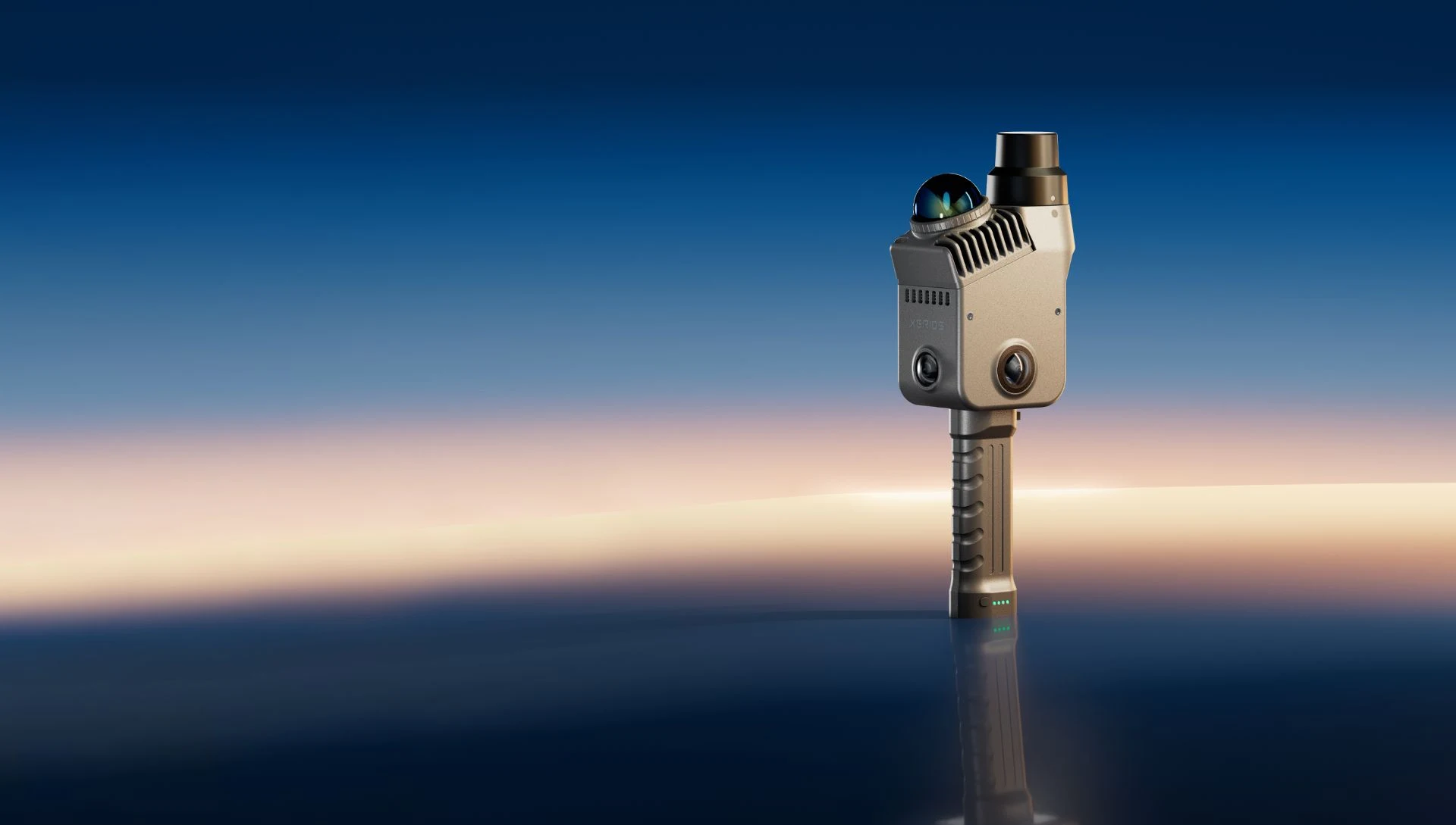 Lixel K2
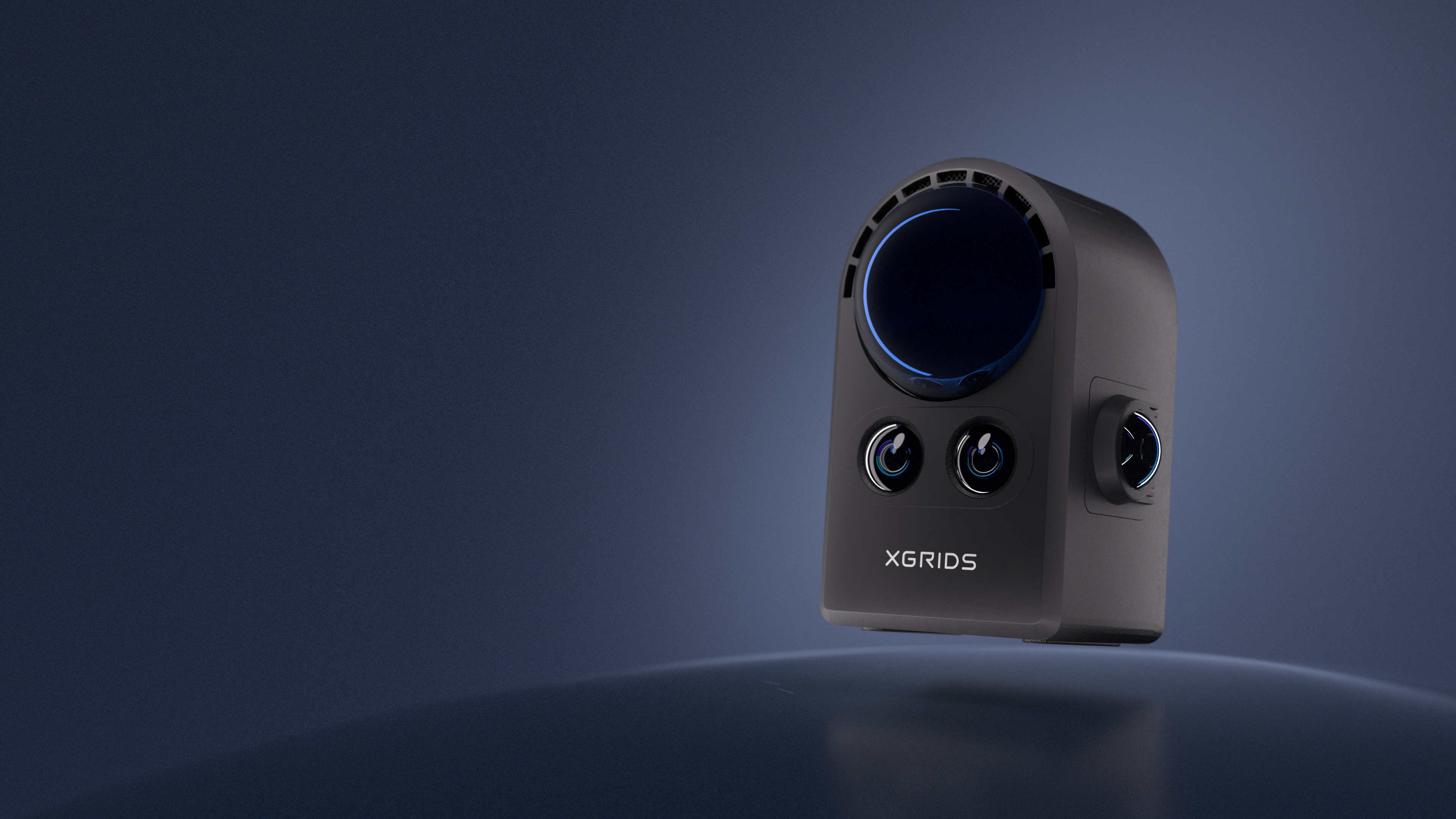 PortalCam
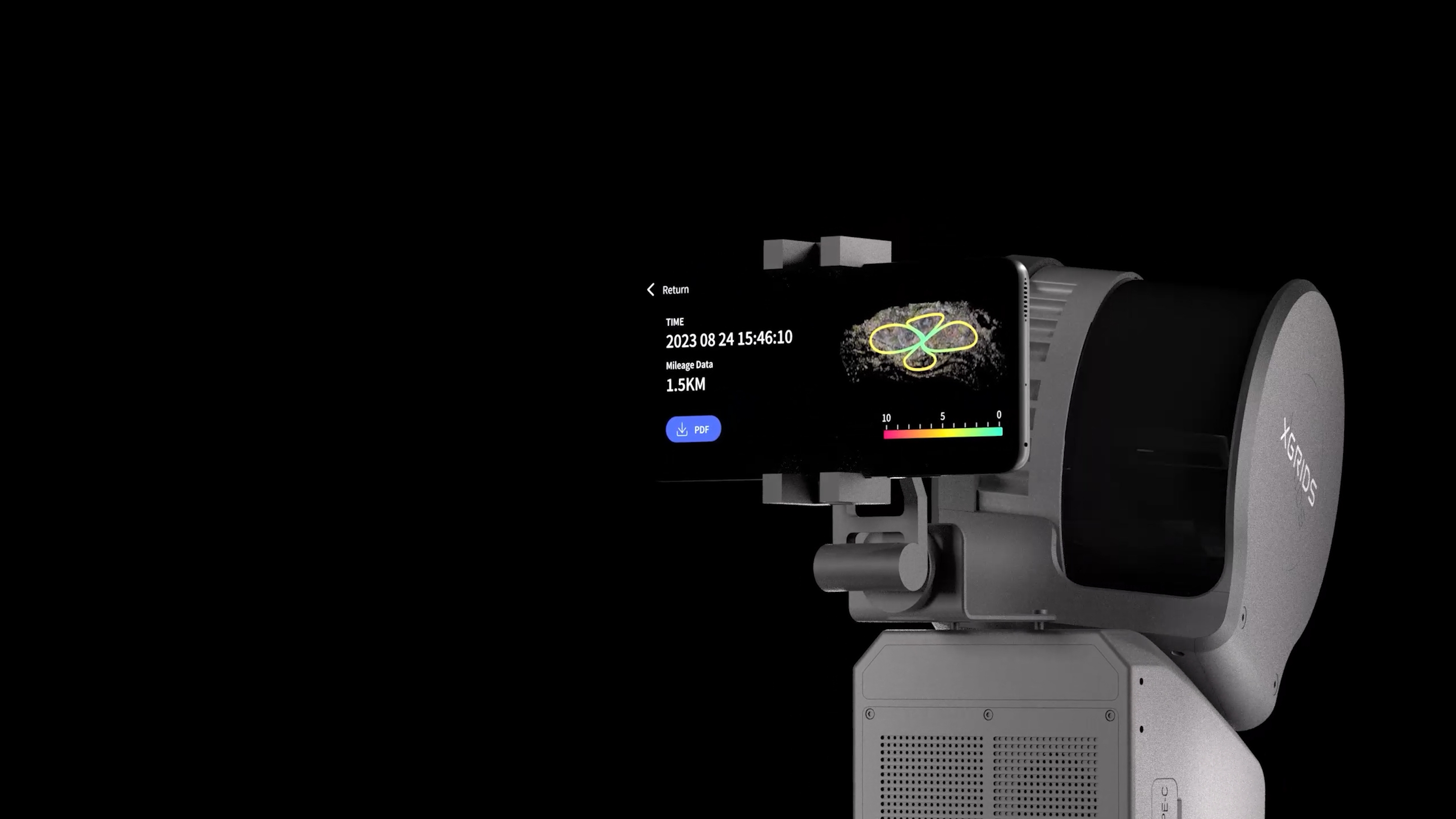 Lixel L2 Pro
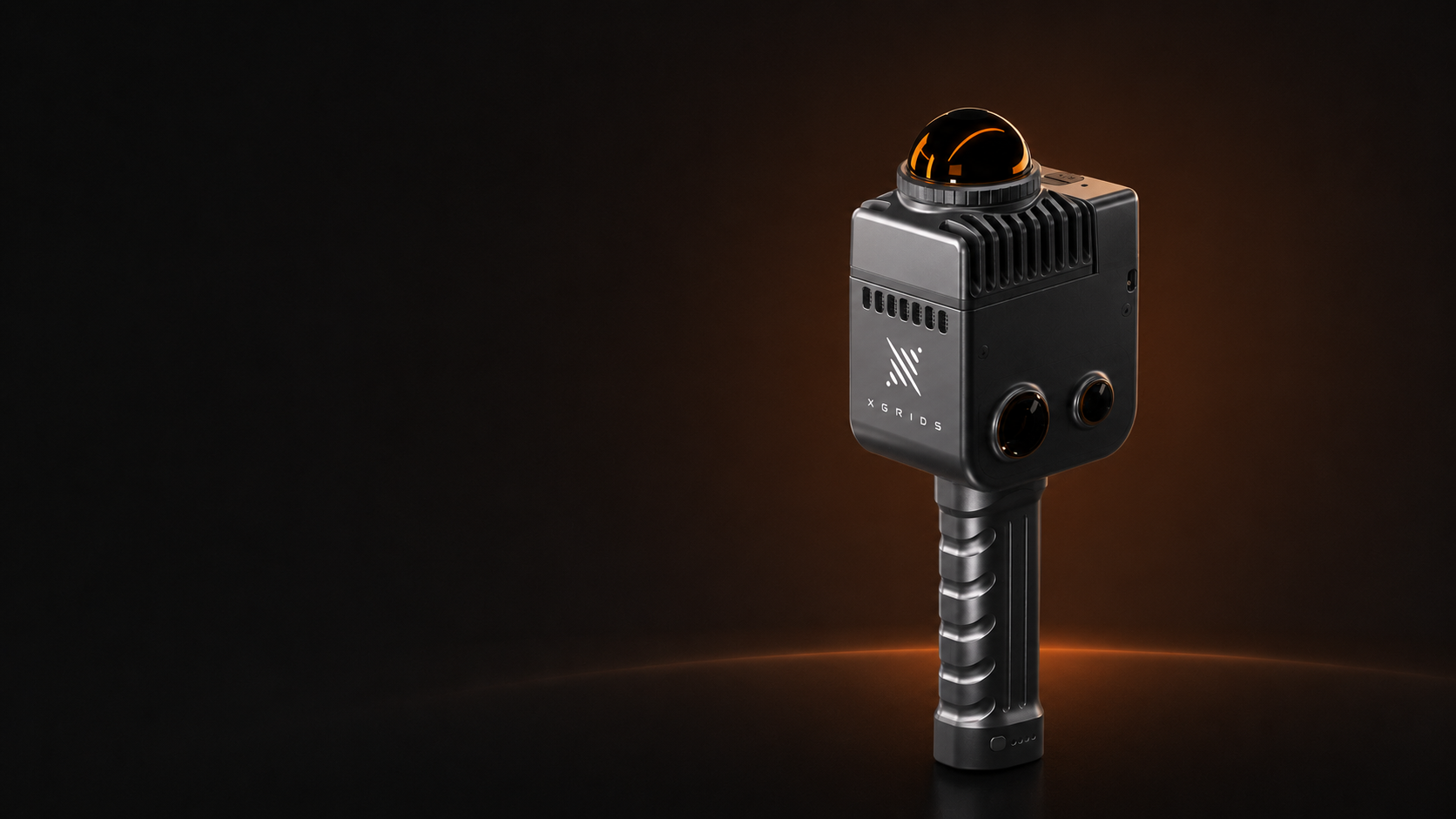 LixelKity K1
Four Scanners, One Ecosystem
From ultra-compact wearable capture to long-range survey-grade mapping — every XGRIDS device shares the same LixelStudio / LixelGo processing pipeline.
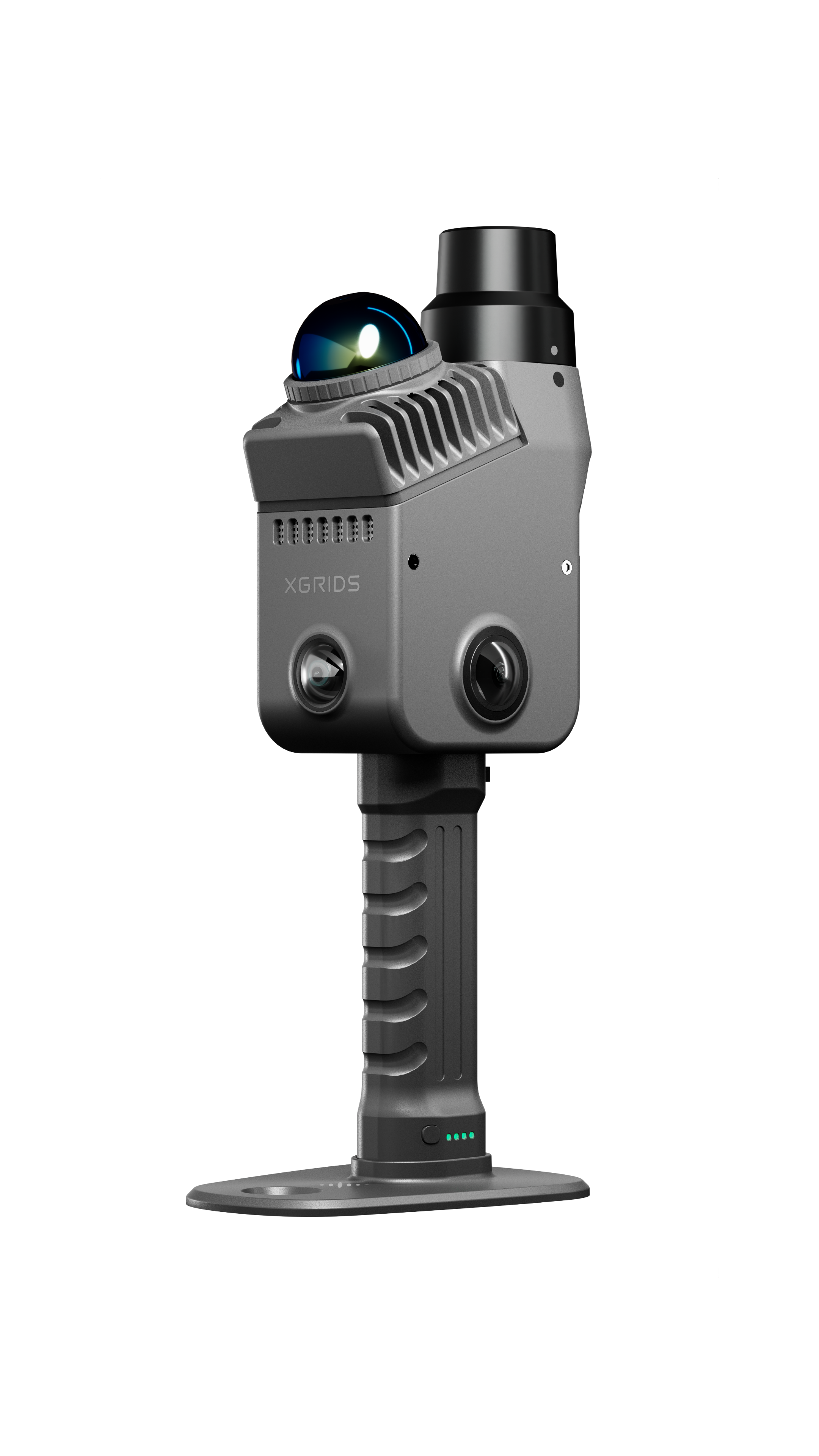
Lixel K2
Handheld SLAM scanner with built-in RTK, 200,000 pts/s, 1cm relative accuracy and 1.2kg lightweight design.
View Product
PortalCam
Spatial camera with 856K pts/s LiDAR, onboard AI 3DGS processing and 4-camera array. 870g handheld.
View Product
Lixel L2 Pro
Precision redefined. Up to 640,000 pts/s and 300m range for large-scale survey.
View Product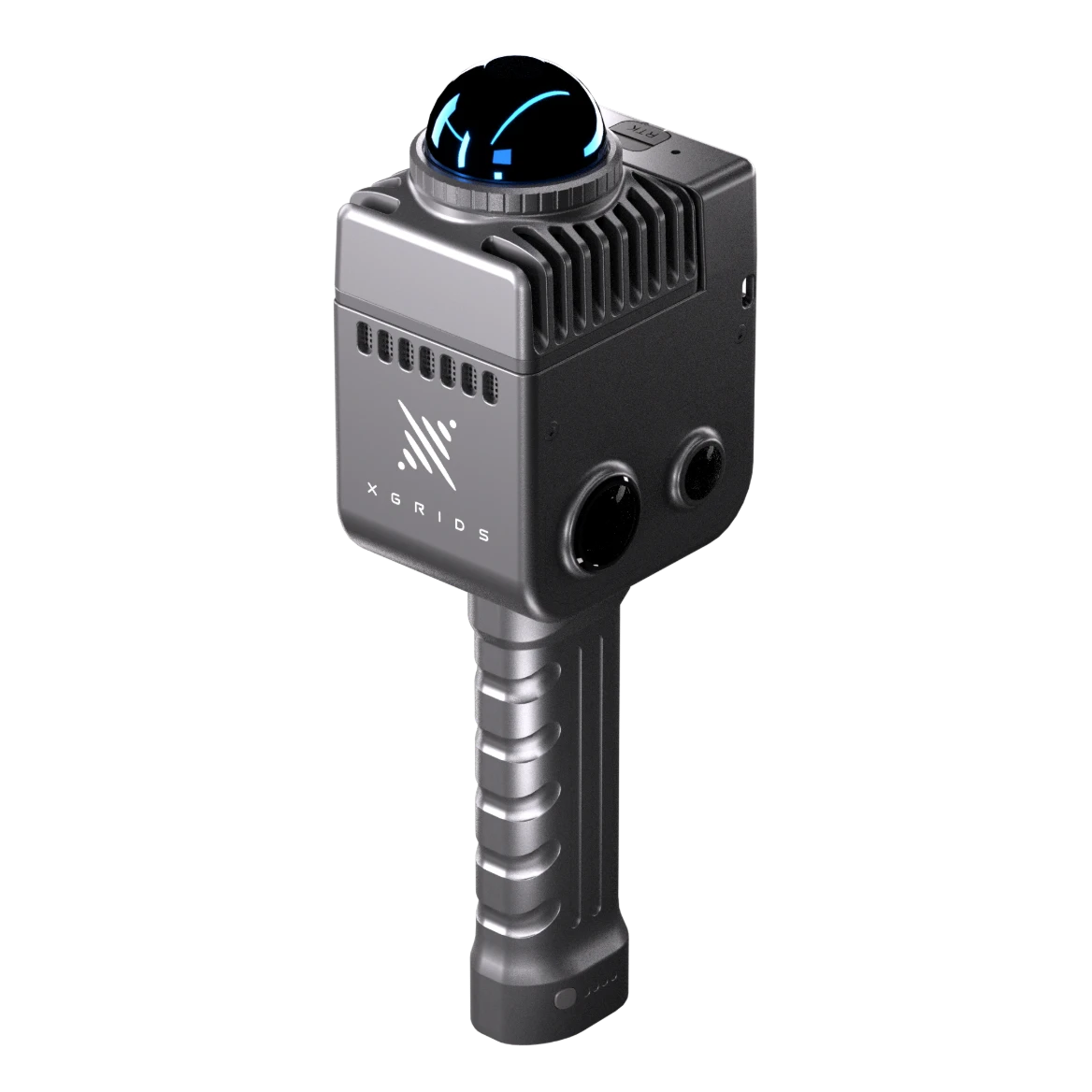
LixelKity K1
Compact yet powerful. Sub-1kg wearable design for fast, tripod-free capture.
View ProductWhich Scanner Is Right for You?
| Spec | Lixel K2 | PortalCam | Lixel L2 Pro | LixelKity K1 |
|---|---|---|---|---|
| Weight | 1.2 kg | 870g | 1.7 kg | <1 kg |
| Scan Range | ≥40m @ 10%; 100m max | 0.1–30m @ 10%; 60m @ 90% | ≥40m @ 10%; 100m max | 0.1–40m |
| Point Rate | 200,000 pts/s | 856,000 pts/s | Up to 640,000 pts/s | 200,000 pts/s |
| LiDAR FOV | 360° × -7° to +52° | 180° × 180° | 360° × 270° | 360° × 360° |
| Laser Class | Class 1 / 905 nm | Class 1 / 940 nm | Class 1 / 905 nm | Class 1 / 905 nm |
| Cameras | 3× (2 fisheye + 1 front) | 4× (2 fisheye + 2 front) | 2× 48MP panoramic | 4× side cameras |
| Internal Storage | 512 GB eMMC | 512GB + external SSD | 1 TB SSD | 256 GB SD card |
| Battery Life | 1.5 hours | 60 min | 1.5 hours | 1.5 hours |
| Operating Temp | -20°C to +50°C | -20°C to +45°C | -20°C to +50°C | -20°C to +50°C |
| Processing | LixelGo / LixelStudio | Onboard AI 3DGS + LCC Cloud | LixelGo / LixelStudio | LixelGo / LixelStudio |
| Best For | General survey & AEC | Real estate & indoor walkthroughs | Large-scale infrastructure & corridor mapping | Rapid indoor / confined-space capture |
Reality Capture, Reimagined
Every XGRIDS device is built around multi-sensor SLAM fusion and on-device processing — no external tracking, no dedicated survey crew required.
Multi-SLAM + RTK Fusion
LiDAR, visual and inertial SLAM fused with onboard RTK for centimetre-level absolute accuracy without ground control targets.
Native 3D Gaussian Splatting
Point clouds and photoreal Gaussian Splat models generated together — deliver both survey data and immersive walkthroughs from one scan.
Walk-and-Scan Workflow
No tripods, targets or stop-and-go setups. Walk the site once and capture complete 360° coverage in a single continuous pass.
LixelStudio & LixelGo
One-click on-device processing via LixelGo, with full point-cloud registration, classification and export via LixelStudio desktop software.
Open Data Formats
Export to LAS, LAZ, E57, PLY and Gaussian Splat formats — compatible with Revit, AutoCAD, Unreal Engine, Unity and Blender.
India-Based Support
As official reseller, Sentra provides local demos, training, calibration support and warranty service across India.
Built for Every Reality Capture Workflow
AEC & As-Built Surveys
Rapid as-built point clouds for renovation, BIM coordination and construction progress verification.
Infrastructure & Corridor Mapping
Long-range corridor scanning of roads, rail, pipelines and utility networks with survey-grade accuracy.
Real Estate & Digital Twins
Photoreal 3D walkthroughs and floor plans for property listings, facility management and digital twins.
Industrial & Plant Scanning
Confined-space and plant scanning for retrofit design, clash detection and asset documentation.
Heritage & Cultural Preservation
Non-invasive, high-fidelity documentation of heritage structures and monuments for archival records.
Public Safety & Forensics
Fast, repeatable scene documentation for accident reconstruction and forensic site capture.