Floods rarely give communities enough time to react. In mountainous and flood-prone regions, a sudden rise in river levels, intense rainfall, landslides, glacial activity, or upstream blockages can transform a normal waterway into a life-threatening torrent within minutes.
When Every Minute Matters
The devastating floods that struck the Nepal–Tibet border on August 26, 2026, are a stark reminder of this vulnerability. A catastrophic flash flood and debris flow swept through communities along the Lhende Khola, Bhote Koshi and Trishuli river systems, destroying homes, roads and bridges and leaving hundreds dead and more than a thousand people missing as rescue operations continued.
Reports indicate that the event was associated with a collapse of ice and rock in the Himalayan region, demonstrating that dangerous flooding can develop extremely rapidly and may not always be preceded by conventional heavy rainfall.
What if communities downstream could receive a warning before the flood wave reaches them?
That is where a real-time flood monitoring and early warning system can make a critical difference.
From Monitoring Water Levels to Protecting Lives
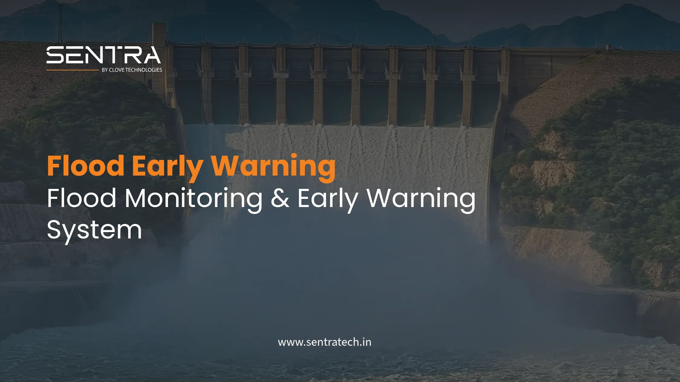
Sentra by Clove Technologies' Flood Monitoring & Early Warning Solution is designed to continuously observe critical waterways and environmental conditions, transform sensor data into actionable information, and rapidly communicate warnings when predefined risk thresholds are exceeded.
The approach is based on a simple principle: detect earlier, decide faster, warn sooner.
Water-level sensors, rainfall and weather instrumentation, environmental sensors and optional field cameras can be deployed at strategically selected locations such as:
- Rivers and streams
- Mountain valleys
- Upstream and downstream corridors
- Dams and reservoirs
- Drainage channels
- Bridges and culverts
- Flood-prone settlements
- Hydropower facilities
- Roads and railway corridors
- Critical infrastructure near waterways
Continuous measurements are transmitted to a centralized monitoring platform where operators can observe changing conditions in near real time. Similar flood-monitoring architectures combine water-level measurements, weather information, field cameras, wireless connectivity and centralized data management to support threshold-based alerts and rapid decision-making.
How the Flood Early Warning System Works
1. Continuous Environmental Monitoring
Sensors installed at critical locations continuously measure parameters such as water level, rainfall, temperature, humidity, flow conditions and other environmental variables.
Instead of relying entirely on periodic manual inspections, authorities can maintain continuous visibility of changing conditions. A sudden increase in river level can therefore be detected while the water is still upstream — potentially before the flood reaches downstream communities.
2. Intelligent Threshold Detection
Not every increase in water level represents an emergency. The system can establish different warning thresholds based on local hydrology, terrain, historical observations and the characteristics of the monitored location.
Water level remains within the expected range.
Water level or rainfall is increasing unusually quickly.
A predefined threshold has been exceeded.
Conditions indicate an immediate downstream risk.
This converts raw sensor readings into information that emergency-response teams can act upon.
Alerts Delivered Directly to People
An early-warning system is only valuable if the warning reaches people quickly. When a critical threshold is reached, the solution can be configured to trigger multiple communication channels.
Mobile Alerts
Warnings can be distributed through:
- SMS
- Mobile applications
- Web dashboards
- Notifications to designated response teams
This allows authorities, disaster-management teams, police, infrastructure operators and designated personnel to receive alerts without being physically present at the monitoring site.
Downstream Sirens
For communities where internet or smartphone access may be limited, physical warning infrastructure becomes especially important. The system can be integrated with downstream sirens and local alarm systems. When upstream sensors detect dangerous conditions, an automated command can activate sirens in predefined downstream zones.
Upstream Detection → Risk Assessment → Automated Alert → Downstream Siren → Community Evacuation
The goal is not simply to monitor a flood. The goal is to create time for people to move.
Alerts for Rescue & Emergency Teams
The same warning can reach emergency-response organizations. A centralized dashboard can provide responders with:
- Location of the detected event
- Current water level and rate of increase
- Historical sensor readings
- Alert severity
- Upstream and downstream sensor status
- Weather information
- Camera feeds, where deployed
- Critical infrastructure locations and affected zones
This information can help authorities prioritize evacuation, deploy rescue teams and identify vulnerable downstream areas.
What Could This Mean for a Disaster Like Nepal?
The 2026 Nepal disaster demonstrates why minutes can matter. The flash floods affected mountainous communities and critical transportation infrastructure, while damaged roads, bridges and communication infrastructure made rescue operations considerably more difficult. Reports also indicated continuing concerns about additional flooding from water blocked upstream.
A distributed monitoring network could provide an additional layer of situational awareness. Imagine sensors positioned upstream along vulnerable Himalayan waterways. As an abnormal rise is detected:
- 01
Sensor detects change
Water level begins rising rapidly.
- 02
Platform analyzes data
The system compares readings against predefined warning thresholds.
- 03
Critical alert generated
The monitoring platform identifies a potentially dangerous condition.
- 04
Rescue teams notified
Emergency personnel receive mobile and SMS alerts containing the affected location and severity.
- 05
Downstream sirens activated
Sirens warn communities located along the predicted downstream path.
- 06
Evacuation begins
People move toward predetermined safe zones before the flood reaches them.
- 07
Rescue teams respond
Emergency teams can begin mobilizing while access routes remain available.
This does not eliminate the danger. It creates something extremely valuable during a disaster: time.
Beyond Rivers: A Multi-Hazard Monitoring Network
Flood monitoring should not be limited to measuring water height. In mountainous regions, a more comprehensive system can combine multiple sources of information.
- Water-level sensors — detect abnormal rises in rivers, streams, reservoirs and channels.
- Rainfall and weather sensors — provide additional environmental context for rapidly changing conditions.
- Field cameras — provide visual confirmation of conditions when sensor thresholds are exceeded.
- Geotechnical sensors — where appropriate, inclinometers, extensometers and tilt sensors can monitor slope and ground instability that may contribute to waterway blockages or infrastructure risks.
- IoT connectivity — wireless communication transmits field data to centralized systems without continuous manual data collection.
- Centralized dashboard — operators can view multiple monitoring locations from a single interface.
Modern flood-monitoring architectures can integrate water-level sensors, weather stations, cameras and wireless connectivity into a centralized platform, with threshold-based alerting and automated responses. For related approaches, see our work on geotechnical and foundation monitoring.
Protecting More Than People
A flood early-warning system can also help protect critical infrastructure.
- Bridges — monitor waterways around bridges and provide early warnings when flood conditions threaten access or structural assets.
- Roads — warn authorities before floodwater reaches critical road sections, allowing traffic restrictions and diversion planning.
- Railways and metro infrastructure — monitor waterways, drainage systems and vulnerable rail corridors to support operational safety.
- Dams and reservoirs — continuously observe water levels and environmental conditions to support flood-risk management.
- Hydropower projects — monitor upstream and downstream conditions around critical generation infrastructure.
- Communities — provide warnings to people living near rivers, streams and flood-prone valleys.
From Reactive Rescue to Proactive Disaster Management
Traditional flood response often begins after water has already reached the affected area. By then roads may already be underwater, bridges may be inaccessible, communication networks may be disrupted, rescue teams may struggle to reach affected communities, and evacuation routes may no longer be safe.
Continuous monitoring changes the sequence. Instead of flood → damage → rescue, the objective becomes detect → assess → alert → evacuate → respond. That transition from reactive response to proactive preparedness can fundamentally improve disaster management.
Building a Layered Early Warning Network
For regions such as the Himalayas, one sensor is not enough. A distributed monitoring architecture positions multiple monitoring stations along critical river corridors, so that upstream stations feed a central platform which in turn drives mobile alerts, siren activation, an emergency dashboard and rescue-team notification for downstream communities.
Multiple monitoring points can provide authorities with a broader understanding of how conditions are changing as water moves through a river system.
The Technology Is Not the Final Solution — The Warning Is
Sensors, IoT gateways, dashboards and analytics are only components of the system. The real objective is human safety. A warning received five minutes earlier can provide additional time to move people. A warning received fifteen minutes earlier can provide additional time to mobilize rescue teams. A warning received before critical infrastructure is cut off can help authorities position emergency resources where they are most needed.
However, no monitoring technology can guarantee prevention of casualties in an extreme event. The effectiveness of an early-warning system depends on sensor placement, communications availability, threshold design, local hydrological conditions, emergency protocols, evacuation planning and whether communities can act on the warning.
From the Tragedy in Nepal to a Global Lesson
The devastating events of August 2026 should not only be remembered as a tragedy. They should also strengthen the conversation around early detection, resilient infrastructure and disaster preparedness. Mountainous countries and flood-prone communities face increasingly complex environmental risks, and the Nepal disaster showed how rapidly a flood and debris flow can overwhelm communities and infrastructure.
Technology cannot stop a glacier collapse, landslide or flash flood. But technology can help us see the warning signs sooner. And when a warning reaches the right people, through the right channel, at the right time, it can help transform precious minutes into evacuation time and response time.
Sources: Reporting on the Nepal incident from Reuters, the Associated Press, Al Jazeera and the Kathmandu Post, together with the Worldsensing Flood Monitoring System reference architecture. The situation was still developing at the time of writing; casualty and missing-person figures reflect reports available on 27 August 2026 and may have since changed.
Turning Environmental Data Into Early Warnings
Sentra brings together IoT sensing, environmental monitoring, wireless connectivity and centralized dashboards to help organizations build more resilient monitoring systems — designed around the specific characteristics of each location, from Himalayan river corridors and reservoirs to urban drainage networks, bridges, roads and railways. Because when the flood is already at the doorstep, it may be too late.
Contact us