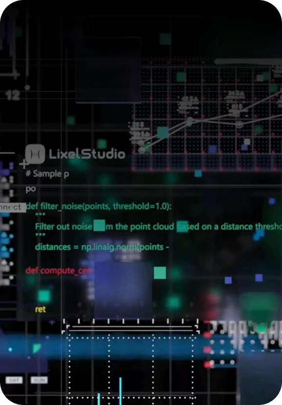
SLAM Mapping
One-click processing: automated loop closure, dynamic object removal, coordinate transformation.

LixelStudio turns raw scan data from Lixel K2 and L2 Pro into production-ready, engineering-grade point clouds — one click at a time. Automated SLAM mapping, map fusion, measurement tools and direct export into BIM, CAD and GIS workflows.
 LixelStudio · XGRIDS
LixelStudio is the point cloud processing workstation built for Lixel scanners. It eliminates manual processing bottlenecks, transforming hours of complex workflows into minutes of automated processing — with photorealistic color, engineering-grade levelness and noise removal that preserves structural detail.
From SLAM mapping and multi-session map fusion to measurement, analysis and BIM/CAD/GIS-ready export, LixelStudio is the single desktop application that carries a scan from raw capture to deliverable.
Sharp, detail-rich color even in low light
Planar surfaces true to geometry, no manual correction
Intelligent filtering without losing structure
Accurate color and surface detail, ready for handoff
Automated processing replaces manual, multi-step workflows.
From SLAM mapping to measurement to export — all in a single app.
LAS, E57, RCP and mesh formats plug straight into BIM/CAD/GIS.
Sentra offers hands-on demos and onboarding as official reseller.
Eliminate manual processing bottlenecks — transform hours of complex workflows into minutes of automated processing with centimeter-level accuracy.
One-click processing: automated loop closure, dynamic object removal, coordinate transformation.
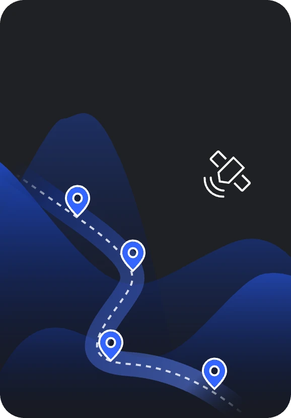
Large-area mapping: combine multiple scanning sessions with RTK, GCP or connection points.

Enhanced accuracy: PPK-enhanced SLAM improves global alignment and point cloud accuracy.

Accuracy verification: automated check point analysis with statistical reporting.
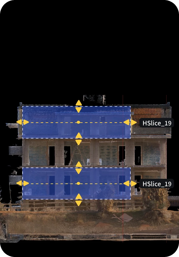
Sectioning tools: horizontal/vertical slicing for floor plans and cross-sections.
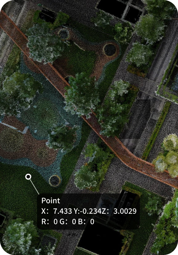
Comprehensive tools: point, distance, area and angle measurements — imperial or metric.
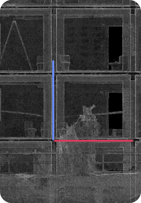
Spatial orientation: coordinate-aware alignment with fine-tuning controls.
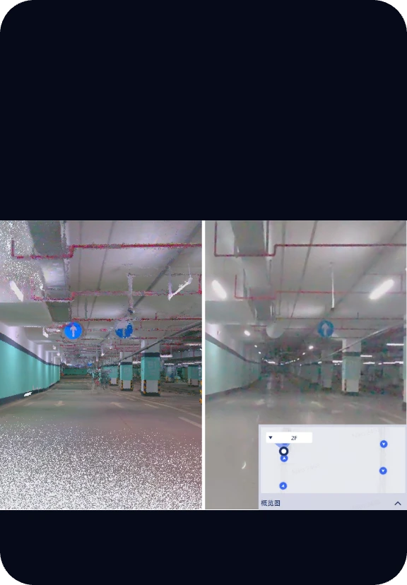
Synchronized point cloud and panoramic viewing with floor-by-floor navigation.
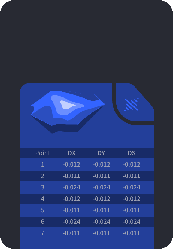
Floor plan generation from point clouds, including smart 2D contour extraction.
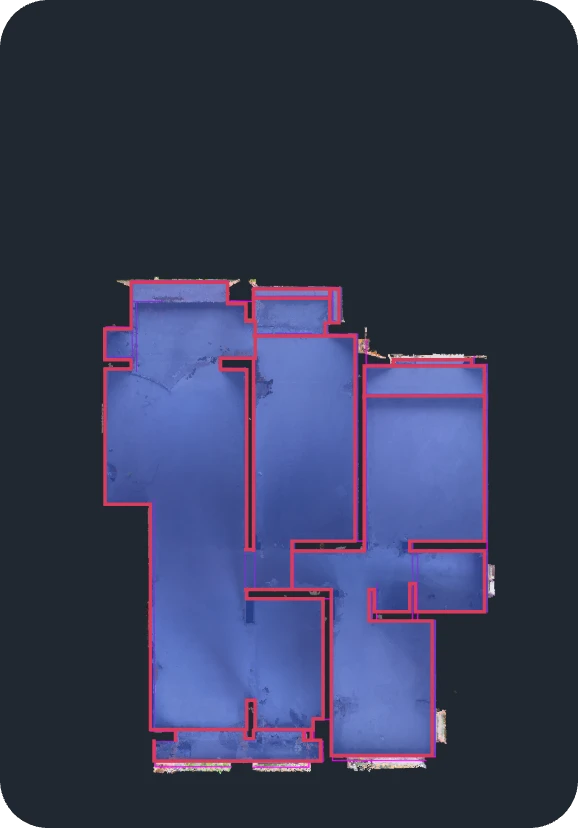
Stockpile management: single and comparison volume analysis with automated reporting.

Real-time point cloud streaming and remote device control for L2 Pro, with live collaboration.
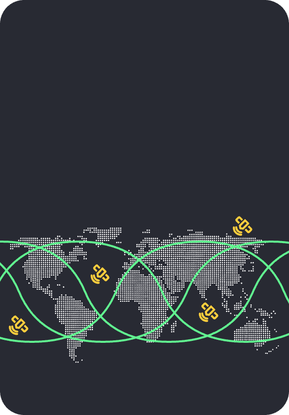
Global standards: 8+ built-in coordinate systems, 7-parameter datum transformation, geoid model integration.
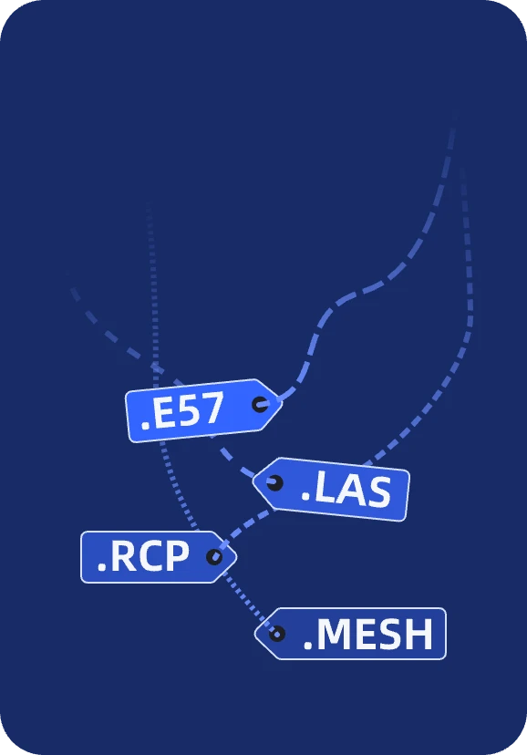
Industry standards: LAS, E57, RCP and mesh generation (.obj, .osgb) for BIM and CAD platforms.
Bring in raw scan data from Lixel K2 or L2 Pro. Automated SLAM mapping handles loop closure, dynamic object removal and coordinate transformation.
Slice, align, measure and quality-check the point cloud. Fuse multiple sessions with RTK, GCP or connection points for large-area mapping.
Publish directly into BIM, CAD and GIS pipelines — LAS, E57, RCP and mesh formats, ready for engineering handoff.
Can't find what you're looking for? Contact our team — we're happy to help.
LixelStudio processes raw scan data from Lixel K2 and Lixel L2 Pro, and supports remote transmission and live device control for L2 Pro sessions.
LAS and E57 point clouds, RCP for AutoCAD Recap compatibility, and mesh generation in .obj and .osgb — ready for BIM, CAD and GIS platforms.
Yes — Map Fusion combines multiple scanning sessions using RTK, GCP or connection points, enabling large-area, multi-session mapping.
Yes — Sentra is the official XGRIDS reseller in India and provides LixelStudio licensing, demos and onboarding support alongside Lixel K2 and L2 Pro hardware.